Fullscreen Zoom
urban environmentPRO MODEL
Aerial scan 14
0 views
Specifications
Platform:
3dsMax 2014 + fbx
Render Engine:
Vray
Form Factor:
Irregular
Style:
Modern
Polygons:
0
File Size:
127.87 MB
Formats:
fbx
Dimensions:
0 × 0 × 0 cm
Materials:
Stone, Organics
Colors:
Description
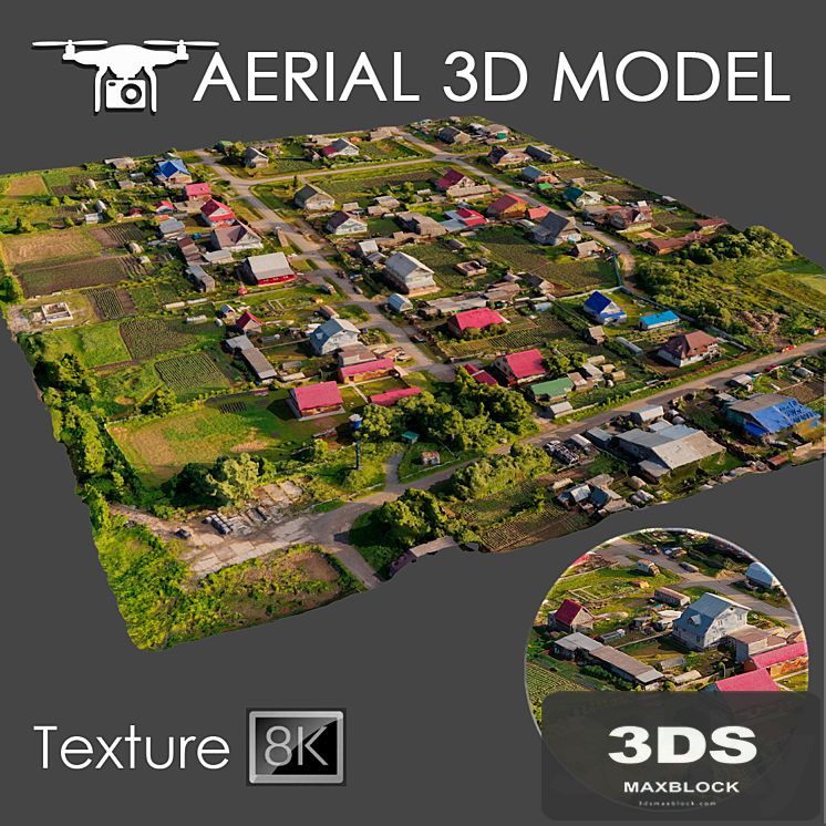
A 3D scan of the terrain was made using a quadrocopter at an altitude of 60 m. The model consists of one Edit Poli with 1 texture scan. Texture (scan) 8192x8192 Suitable for visualization of master plans as a background fill. The model is made on the basis of real photos and contains many details and features of the landscape. I recommend editing the model with the Slice modifier, so you can trim the model to the desired areas. Use only for long-range plans as a preview.